Hills to Climb : Cougar Mountain (Phase 2) - "To The Wall"
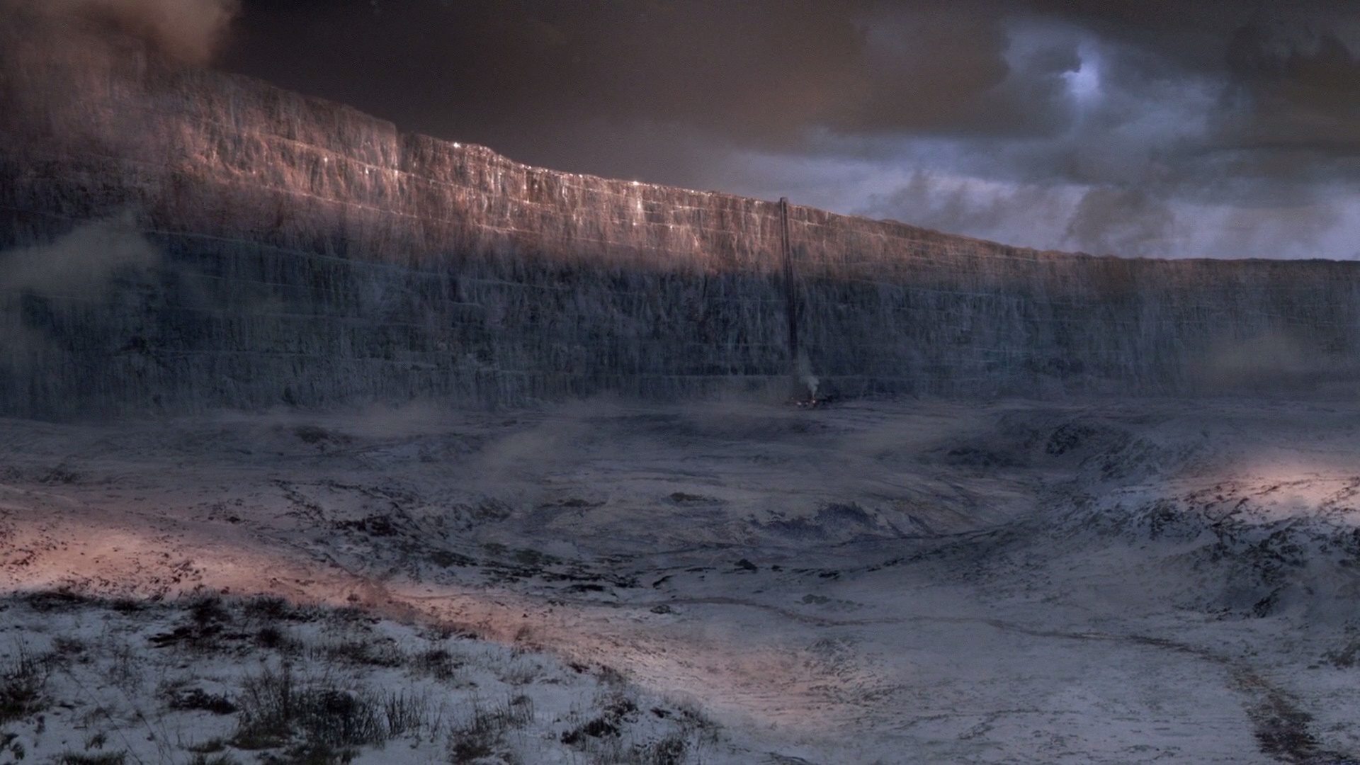 |
| The Wall is not this high, but surely feels like it! |
Having acclimatized myself to the Lakemont Blvd climb to a fairly comfortable degree (if you can ever be comfortable on a 18%+ switchback?), I believed that I was now ready to explore the higher reaches of Cougar Mountain area in an effort to begin the next phase of the ascent to its top. The next "phase" of my attempt would be an addition of about a mile or so to the Lakemont Blvd hill, but a staggering 400 feet of elevation gain with portions of 20%+ gradient. Did I not mention that bikers are prone to be ever so slightly masochistic than the rest of the populace? Well, you may ask, I never did notice! But then, moi counters, why would anyone with half a dose of sanity wear ridiculously tight (but breathable) spandex and subject their body to such cruelty, all the while smiling about the whole episode later over a pint or two? As I said, a crazy lot!
With Reliable Roubaix back into service following a visit to the doctor's post STP, I saddled her up and set out under the morning clouds to see if I could achieve my goal. There was no real urgency in the ride as this was no bike-test ride nor did I want to waste my energy on the initial climb up Lakemont. As a result, I just switched into my domestique mode - with hands on the top of the handlebars, gently humming to myself and maintaining a steady cadence on a 53x22 or such. My choice of melody for today seemed portentous, for the last thing I wanted was a downpour while I was humming Miya Ka Malhar! As if to taunt me (and my vocal skills) the clouds poured down for a brief minute or two, then dissipated before you could say "huh?" - reminding me of a bunch of schoolkids running for their lives after pestering an unsuspecting pedestrian with water balloons!
The ride to the French Immersion School (base of the Lakemont climb) was fairly uneventful, and I decided to gamble on the big ring to take me up the climb as far as I could go. I honestly expected to last not more than the first switchback with its 18%+ gradient - but to my surprise, not only did I survive the turn, but also did I not switch to the inner ring until the last 1/3rd of the climb! That certainly felt good! As a bonus, I also shaved off 30 seconds from my previous PR done on the BMC SLR01, moving a couple of steps up the leaderboard ... Freaking Awesome, right?
The ride to the French Immersion School (base of the Lakemont climb) was fairly uneventful, and I decided to gamble on the big ring to take me up the climb as far as I could go. I honestly expected to last not more than the first switchback with its 18%+ gradient - but to my surprise, not only did I survive the turn, but also did I not switch to the inner ring until the last 1/3rd of the climb! That certainly felt good! As a bonus, I also shaved off 30 seconds from my previous PR done on the BMC SLR01, moving a couple of steps up the leaderboard ... Freaking Awesome, right?


With a good beginning to the first part of the ride, I was buoyed up with enthusiasm to face the second portion of the ride. I had not recon-ed the route earlier, so it was a "great big adventure into the dark unknown" as far as I was concerned. I had however, mapped the route using online tools (ridewithgps.com) and looked at Google Street Views of The Wall. Cautiously pedaling my way to Village Park Dr, I turned left onto a small incline that led to the base of the dreaded stretch of tarmac.
 |
| The Wall: a vertical stretch or tarmac designed to strike terror into the hearts of unsuspecting cyclists! |
Struggling my way to almost halfway up the climb, I decided it was time to take a breather (see the dip in speed at 10.7mi) and moved into a cul-de-sac on the left. Hoping to catch my breath, I relaxed for a microsecond before realizing that I had not yet unclipped my cleats :) Moments later - road rash, bruises and me laughing hard as I lay on the tarmac with my cleats still clipped :D.
A few minutes later, I started up the last stretch of the climb, but the mojo was unfortunately gone. It was very difficult to get a good start on the incline and my speed was hovering about 3 mph! I managed to get it up in the flatter section of the ride at the top, but by then, I knew I was done climbing for the day ... A few minutes savoring the view from the top and reflecting on the pre-ride prep, I was off the steep descent to get back to the parking lot. The rest of the ride was quite good, considering that an elbow was bleeding and the stem had managed to get slightly misaligned due to The Fall. Nothing a bike tool could not fix, eh?
Lessons learned from this ride that I think every rider must know:
(a) Do your recon, personally - I cannot stress this enough. Google Street Views or online tools do not give you an accurate estimate of the grade. Post-ride, I found that the same street had different grade classifications on different websites (ridewithgps.com, bicycleclimbs.com, mapmyride.com). The closest I could get to the actual gradients was the data on bicycleclimbs.com, which depicted the nasty 20%+ turns faithfully. The least accurate was ridewithgps.com, unfortunately the one I had chosen to rely on this time.
(b) Know your limits - This goes hand-in-hand with the point above. Knowing the terrain that lies ahead gives you a chance to take a breather before you tackle the harder sections that lie ahead. Knowing the terrain makes you gauge your efforts in an optimal fashion.
(c) Unclip, please ( Duh! ) - Yes, the oldest advice in the biking handbook is still the most widely given. Exhaustion directly results in a slower decision making process ( and just road rash and bruises, if you are lucky!) and although unclipping should be a reflex action for experienced riders, the mind needs to push the legs into action if they are dead by the effort. So, yes, unclip if you anticipate that you will think about stopping.
Concluding, the first attempt of Phase 2 went quite well, though not according to the plan. Knowing the terrain intimately by now, I am looking forward to the second attempt to familiarize myself with The Wall. Round Two, here we come!
Appendix:
The data from the three websites, for comparison purposes:
 |
| RideWithGps.com - the gradient tops off at 15 (see scale on the right) - Where are my 20 percenters? |
 |
| Mapmyride.com - comes close to accurate with an acknowledgement to a 23% section around the bend |
 |
| BicycleClimbs.com - comes closest to the depiction of the route as it felt when pedaling against gravity! |

Comments
Post a Comment